A Complete Guide on Backpacking the Pinnacle Trail North Carolina
Cates Compass contains affiliate links and is a member of the Amazon Services LLC Associates Program. If you make a purchase using one of these Amazon links, I may receive compensation at no extra cost to you. Read my disclaimer for more information.
Are you curious if this backpacking trip is worth the effort? Find out my thoughts and everything you need to know below.
After doing the Pinnacle Trail as a day hike in 2023, I knew I wanted to return for an overnight backpacking trip to see this beautiful spot for sunrise. Despite all my efforts, I couldn’t find any good information about backpacking to Pinnacle Trail online, so I put everything I learned into this post to help you have the best experience on the trail.
The Stats
11.1 Miles Roundtrip
3,028 ft Elevation Gain
2 Days, 1 Night
Dogs Allowed
Moderate to Hard Difficulty
Seasonal Road Closure on Blue Ridge Parkway
Best Time to Visit
The best time to backpack the Pinnacle Trail in North Carolina is April to October. You can hike to the Pinnacle in the off-season months but you will need to hike up Pinnacle Park near Sylva instead of taking the route off the Blue Ridge Parkway.
From November to April certain sections of the Blue Ridge Parkway are closed due to ice conditions and potential snow. You can check potential road closures before visiting.
Know Before You Go
I genuinely think this trail is so underrated, but because it’s not on many people’s radar, there isn’t much information about it online.
Minimal Water Sources
After reviewing the Alltrails Map I determined that there probably weren’t any reliable water sources on the trail. For the most part, I was correct.
There is one creek, shown below, that we successfully filtered water from. I would think this creek has a better water flow from April to July due to rainfall, but I would not rely on it during the drier months.
I would recommend carrying enough water for the entire trek just in case.
Download the Trail Map
Downloading the trail map is crucial for backpacking Pinnacle Trail in North Carolina. There are numerous false trails on this hike as well as sections where you have two options and one is better.
I’ve circled below a split on the trail you want to avoid. You will encounter 3 trees with white markers making you think it’s the right direction. It is technically a trail and you can take it, but this section is significantly overgrown and blocked by multiple downed trees.
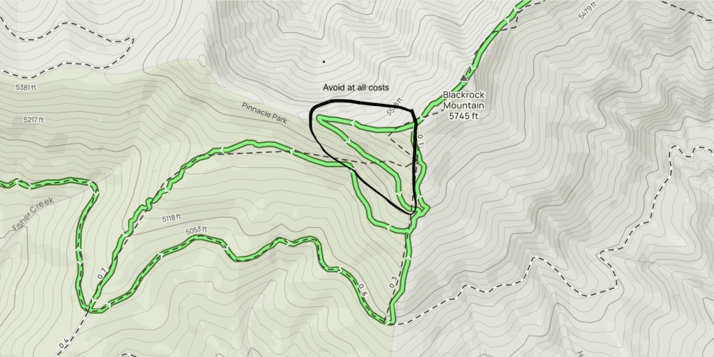
Take the option to the left and go right at the next split.
What to Wear
Certain areas of the trail are overgrown so wear long pants. This will help prevent getting scratched up and potentially picking up poison oak or ivy.
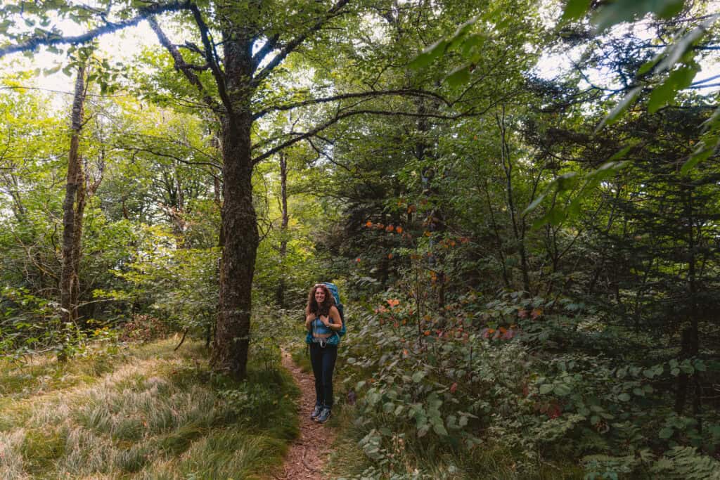
Additionally, there are many roots on the trail so wear appropriate shoes. I prefer to wear my Altra hiking boots with a wider toe box and ankle support.
The Trailhead
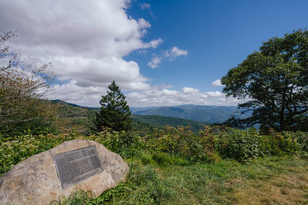
The start of the trail to the Pinnacle via Black Rock Mountain is at Browning Knob Overlook, just steps below Waterrock Knob.
Before getting on the trail, use the restrooms at Waterrock Knob and throw away any trash. We also got our dog to go to the bathroom so we could throw away his poop and have one less thing to worry about.
The overlook should be easy to park at. There was only one other car on a Sunday afternoon. Since this is so close to Waterrock Knob most people park up in the larger parking lot.
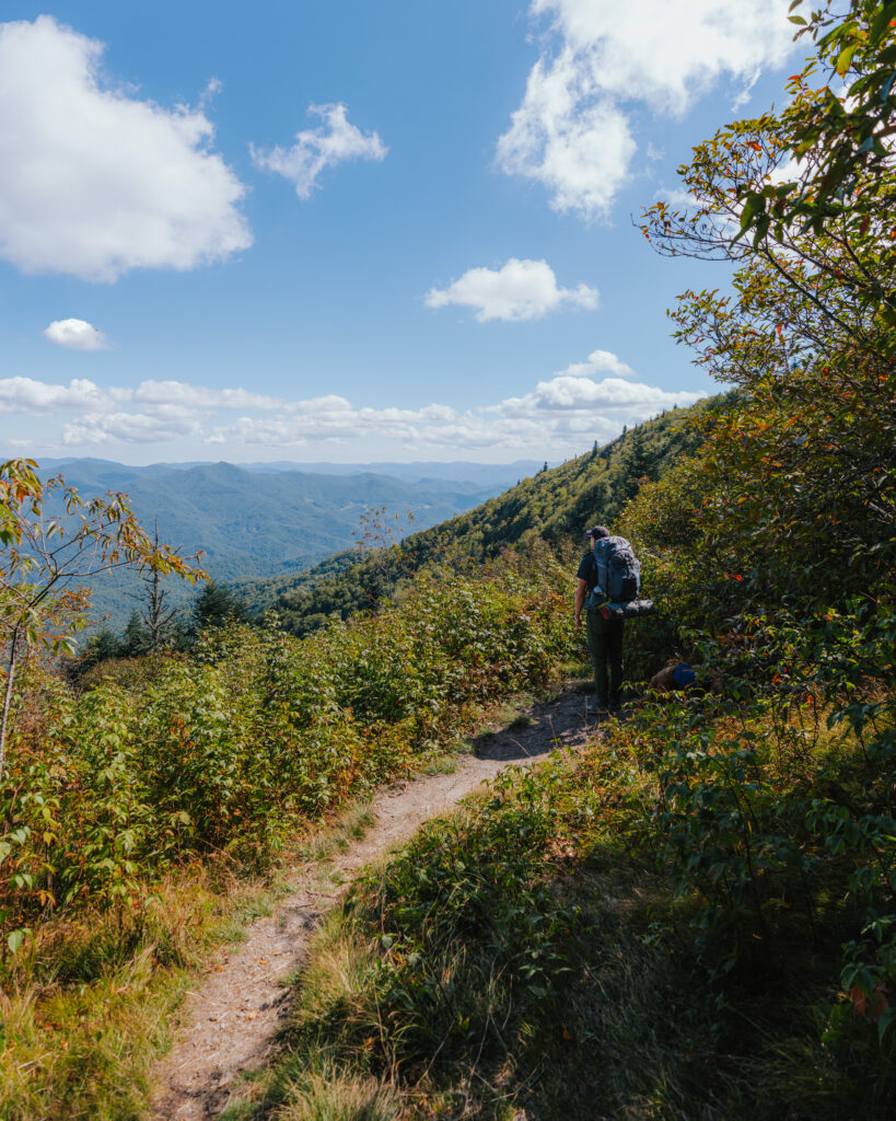
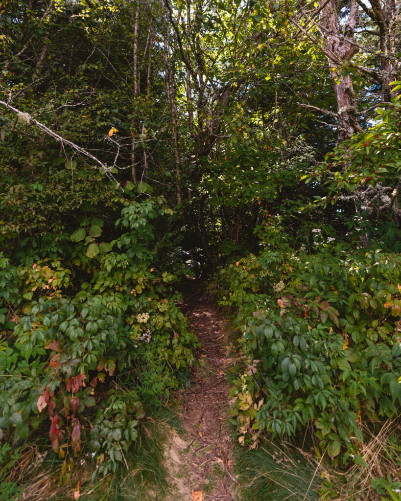
You do not need a permit to park overnight here but since it is on the parkway you cannot access it past the end of October as the road will likely be closed.
To access the trailhead, you must hike down the parkway and cross the road. The entrance is on the right-hand side as you cross the road, slightly to the right of the barrier.
Trail Analysis
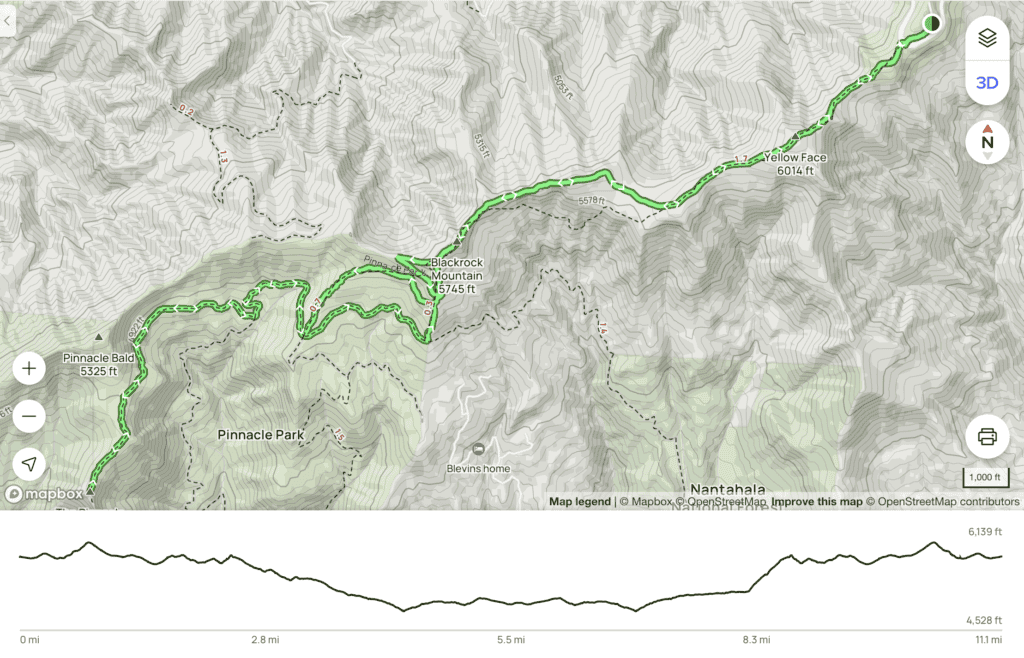
From the trailhead to Blackrock Mountain, the trail is mostly well-groomed. Most people use this trail to get to Black Rock and then turn around.
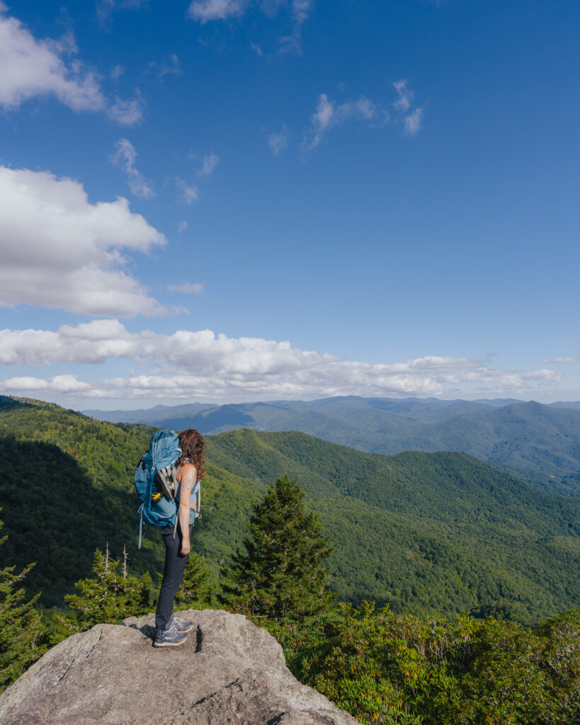
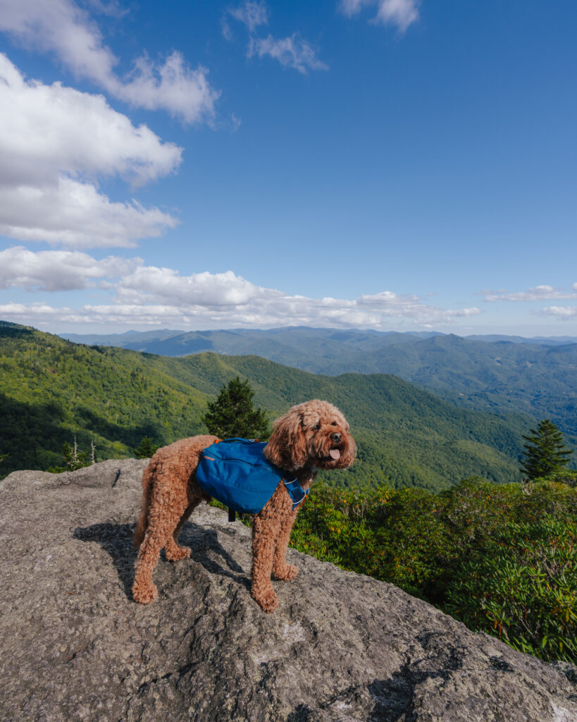
Once past Blackrock, the trail goes downhill pretty rapidly as evidenced by the elevation map. You want to stay to the left at the first split. In this case, the trail that looks like the worst option is the better choice.
You will see white dot markers on the tree at this split, do not take that trail. Following the white markers means bush-wacking at certain spots and climbing over numerous downed trees. Save yourself the headache and don’t make the same mistake as us.
At the second split (the big circle on the map) go right for the shorter option and left for the slightly longer. The quicker descent is slightly less traveled but manageable.
The longer option has an initial steep .3 downhill and flattens to a well-traveled path. In this instance, it’s a pick-your-poison-type moment.
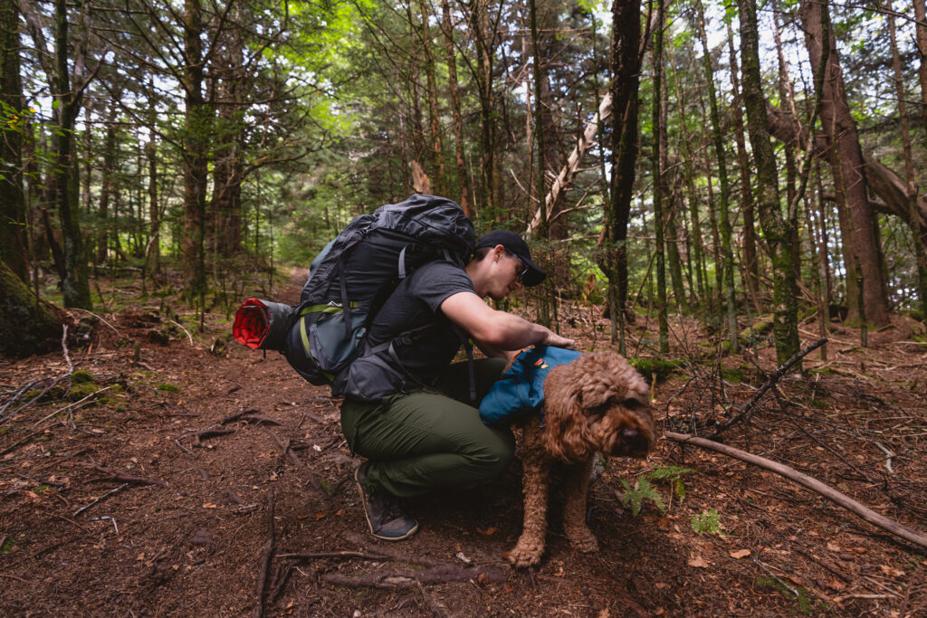
Once at the clearing, follow the signs for the Pinnacle trail.
There is some ascent as you get closer to the Pinnacle, but nothing too strenuous.
You will do a LOT of uphill on the way back. Take the trail on the right when you’re heading back. It is flatter for the first portion but you will have a steep .5 mile climb right before Blackrock. This section is TOUGH and you will question your sanity.
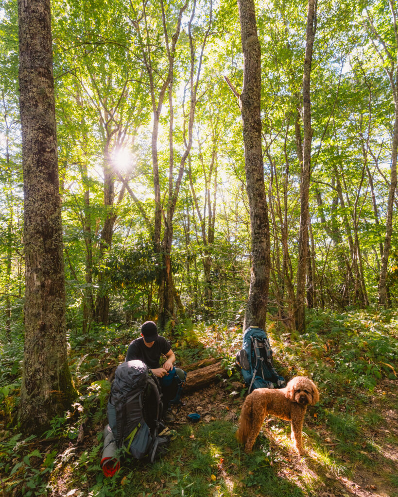
Regarding timing, it took us approximately 4 hours to backpack to the Pinnacle and about 3.5 hours to hike out. Even though the second day had more uphill, I think we moved faster because Ollie was accustomed to his pack and was less concerned about sniffing the trail and more focused on getting to the car.
Campsite

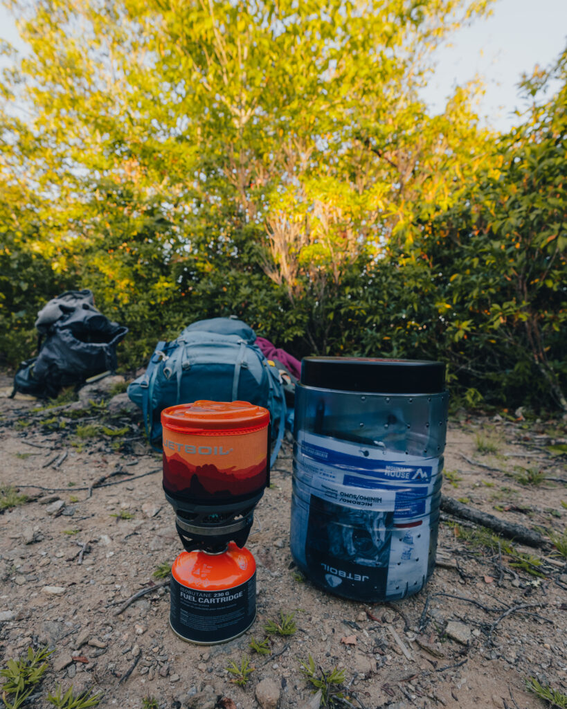
There are two campsite options to choose from. One is on the left about 500 ft. or so before the Pinnacle. It is tucked into the woods, but you will see a fire ring and a few logs beside it. I think this is the better site and is what I would choose if I were to redo it.
The second option is right before the Pinnacle and there is a fire ring, but it’s almost impossible to set up without blocking the trail. We set up here since it was a Sunday night and there wasn’t anyone else there. It worked out fine, but I would have felt more comfortable being off the trail.
The Pinnacle: Views
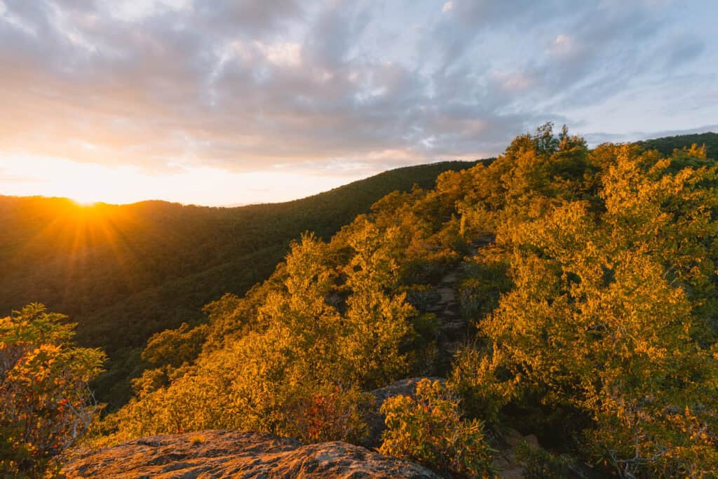
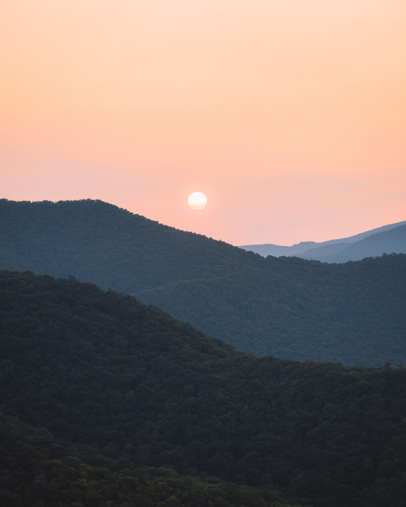
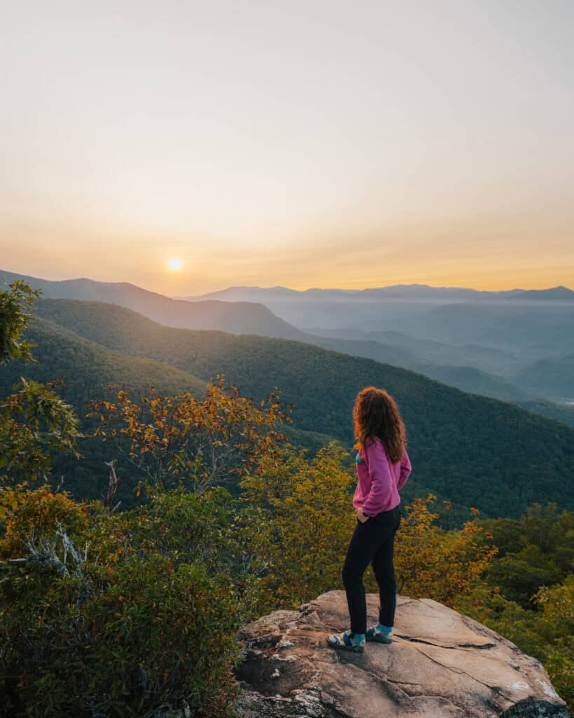
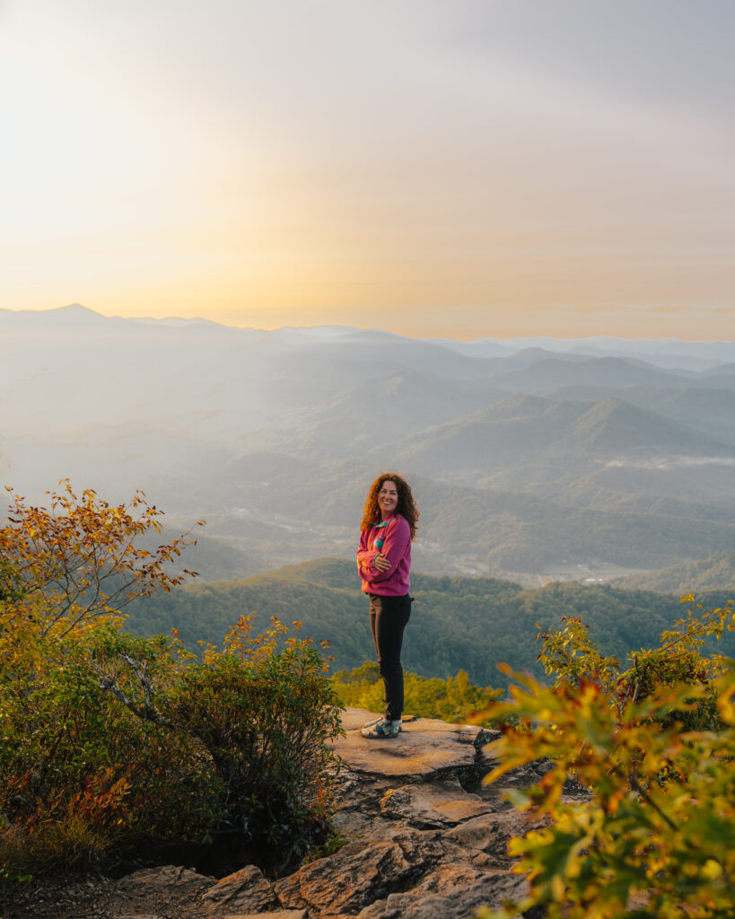
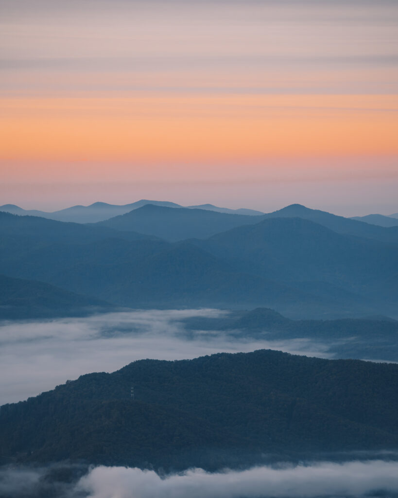
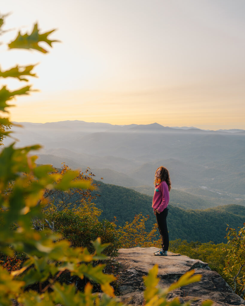
Backpacking the Pinnacle trail is so worth it for these views. The best view is at the very end, in my opinion, but there are so many good vantage points.
Depending on the time of year you may get a really good sunset and sunrise based on where the sun is in the sky. We were super lucky to have beautiful, clear views for both!
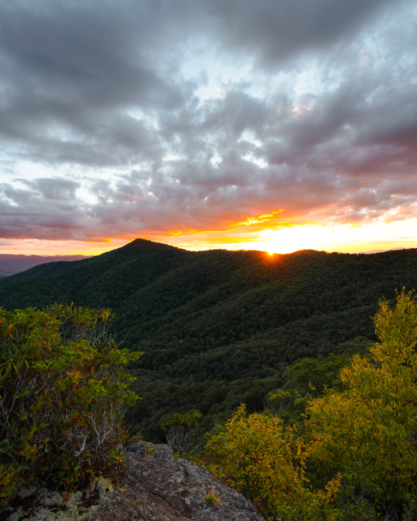
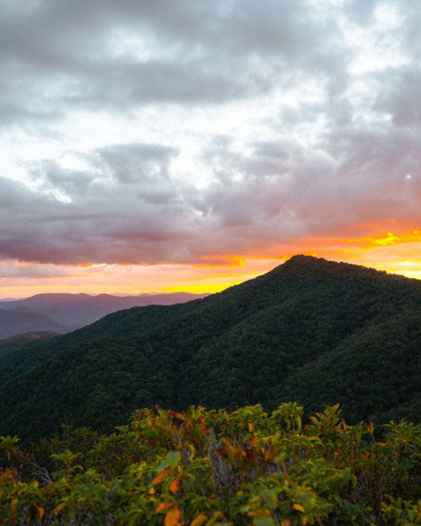
Watching the sunrise at the Pinnacle was probably my favorite. The golden light was so beautiful and I loved being right next to the views without having to do any hiking.
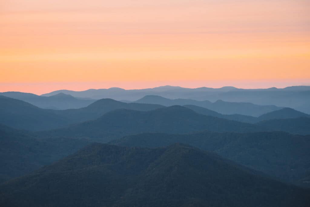
I use two apps to help determine if it will be a good sunrise/sunset, when the sun is coming up, and the direction the sun will be at that time of year.
For sunrise/sunset prediction, I utilize the app called MySunset. To determine the sun’s location and timing, I use PhotoPills.
What To Pack
Backpacking gear can be hard to acquire and quite frankly super expensive. We’ve had our gear for over 5 years and try our best to take care of it so it will last a long time.
If this is your first time, I recommend borrowing items, renting, or looking for used gear from places like consignment stores or REI Re/Supply. If you’re in Asheville, sometimes Second Gear has some great items cheaper than you’d find at full price.
Things to Ensure You Have in Your Pack:
Cooking Pot , Gas , and Utensils (I usually use a long spoon and eat out of the container!)
Bear Bin (You can do a bear hang, but I do not recommend it. I always use my bear bin in Bear Country because it gives me better peace of mind. NEVER leave anything scented in your tent)
Electric Hand Warmer (I bring this on all my backpacking and camping trips when the nightly weather drops below 50 F)
Clothing to Bring:
I try to keep it bare bones to eliminate any unnecessary weight on a one-night backpacking trip.
Since backpacking to the Pinnacle Trail involves being at a relatively high elevation, I did pack a fleece, light jacket, hat, mittens, and an extra pair of underwear/socks. Other than what I was wearing, that’s it.
Wrap-Up: Backpacking to Pinnacle Trail North Carolina
If you’re looking for a unique and beautiful spot for backpacking in North Carolina, the Pinnacle Trail is the perfect choice. This trail delivers on views and isn’t super long so it is a great option for many people.
Things to remember for this one: download the trail map, pack enough water, and bring layers!
Backpacking the Pinnacle Trail in North Carolina was so rewarding and I hope you can experience it too.
